File:USACE Aquilla Dam and Lake.jpg
Size of this preview: 800 × 533 pixels. Other resolutions: 320 × 213 pixels | 640 × 427 pixels | 1,024 × 683 pixels | 1,500 × 1,000 pixels.
Original file (1,500 × 1,000 pixels, file size: 177 KB, MIME type: image/jpeg)
| This is a file from the Wikimedia Commons. The description on its description page there is shown below.
|
| Description |
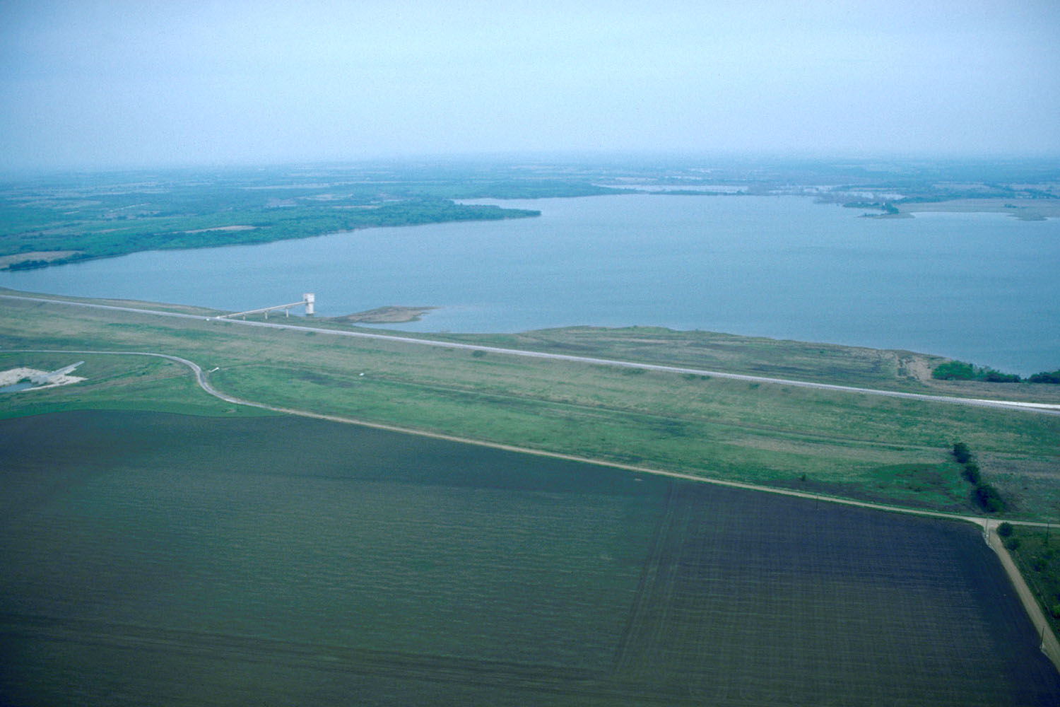
English: Aerial view of Aquilla Lake and Dam on the Aquilla and Hackberry Creeks in Hill County, Texas, USA.
Coordinates: 31°53′54.9″N 97°12′8.94″W / 31.898583°N 97.2024833°W |
|||
| Location | Hill County, Texas, USA | |||
| Date | (Caveat: Dates provided by U.S. Army Corps of Engineers Digital Visual Library are not reliable and may be wrong.) | |||
| Source |
U.S. Army Corps of Engineers Digital Visual Library Image page Image description page Digital Visual Library home page |
|||
| Author | U.S. Army Corps of Engineers, photographer not specified or unknown | |||
| Permission (Reusing this file) |
|
File history
Click on a date/time to view the file as it appeared at that time.
| Date/Time | Dimensions | User | Comment | |
|---|---|---|---|---|
| current | 12:13, 25 May 2007 | 1,500 × 1,000 (177 KB) | DanMS | {{Information | Description = {{en|Aerial view of Aquilla Lake and Dam on the Aquilla and Hackberry Creeks in Hill County, Texas, USA. }} Coordinates: {{Coor dms|31|53|54.9|N|97|12|8.94|W|type:city|display=inline}} | Source = U.S. Army Corps o |
File usage
The following page uses this file: