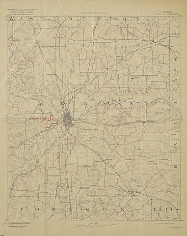
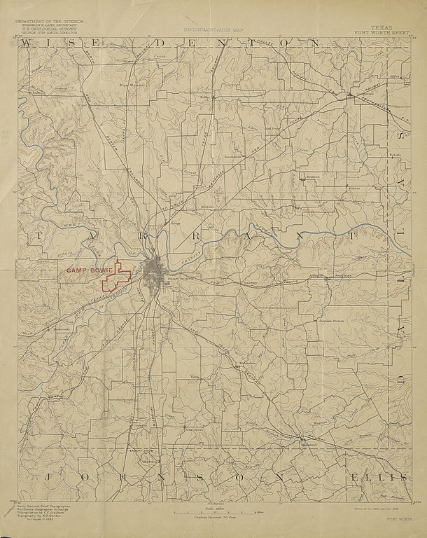
File:USGS Reconnaissance Map of Tarrant County, Texas 1918 (1894 edition) UTA.jpg

Size of this preview: 476 × 599 pixels. Other resolutions: 191 × 240 pixels | 381 × 480 pixels | 477 × 600 pixels | 610 × 768 pixels | 813 × 1,024 pixels | 4,004 × 5,040 pixels.
Original file (4,004 × 5,040 pixels, file size: 7.72 MB, MIME type: image/jpeg)
| This is a file from the Wikimedia Commons. The description on its description page there is shown below.
|
_UTA.jpg)
Summary
| Title |
English: Reconnaissance Map, Texas, Fort Worth Sheet |
||||||||||||||||||||||||||
| Date | |||||||||||||||||||||||||||
| Source | UTA Libraries Cartographic Connections: map / text | ||||||||||||||||||||||||||
| Creator |
United States Geological Survey |
||||||||||||||||||||||||||
| Credit line |
English: The University of Texas at Arlington Libraries Special Collections |
||||||||||||||||||||||||||
| Geotemporal data | |||||||||||||||||||||||||||
| Map location | Tarrant County | ||||||||||||||||||||||||||
| Georeferencing | If inappropriate please set warp_status = skip to hide. | ||||||||||||||||||||||||||
| Bibliographic data | |||||||||||||||||||||||||||
| Place of publication | Washington, D.C. | ||||||||||||||||||||||||||
| Publisher |
United States Geological Survey |
||||||||||||||||||||||||||
| Archival data | |||||||||||||||||||||||||||
| Collection |
|
||||||||||||||||||||||||||
Licensing

|
This file was provided to Wikimedia Commons by the University of Texas at Arlington Libraries as part of a cooperation project. The University of Texas at Arlington Libraries is part of the University of Texas at Arlington, a public research university located in Arlington, Texas.
|
This work was published before January 1, 1929 and it is anonymous or pseudonymous due to unknown authorship. It is in the public domain in the United States as well as countries and areas where the copyright terms of anonymous or pseudonymous works are 95 years or fewer since publication.
|
File history
Click on a date/time to view the file as it appeared at that time.
| Date/Time | Dimensions | User | Comment | |
|---|---|---|---|---|
| current | 08:44, 27 April 2022 | 4,004 × 5,040 (7.72 MB) | Michael Barera | == {{int:filedesc}} == {{Map |title = {{en|'''''Reconnaissance Map, Texas, Fort Worth Sheet'''''}} |description = |legend = |author = United States Geological Survey |date = 1894-01 |source = UTA Libraries ''Cartographic Connections'': [https://libguides.uta.edu/ld.php?content_id=41415472 {{I18n/map}}] / [https://libguides.uta.edu/ccon {{I18n/text}}] |permission = |map date = |location = {{Tarra... |
File usage
The following page uses this file:
_UTA.jpg)