File:Vale Park, Burslem - geograph.org.uk - 1991993.jpg

Size of this preview: 800 × 369 pixels. Other resolutions: 320 × 147 pixels | 640 × 295 pixels | 1,024 × 472 pixels | 1,280 × 590 pixels | 2,557 × 1,178 pixels.
Original file (2,557 × 1,178 pixels, file size: 779 KB, MIME type: image/jpeg)
| This is a file from the Wikimedia Commons. The description on its description page there is shown below.
|
Summary
| Description |
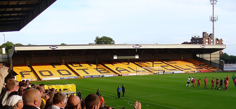
English: Vale Park, Burslem, near to Burslem, Stoke-on-Trent, Great Britain.
Aberdeen and Port Vale fans, happily mixed together, applauding their teams before the start of a friendly match on a warm summer's evening. Aberdeen won 1-0. |
| Date | |
| Source | From geograph.org.uk; transferred by User:EchetusXe using geograph_org2commons. |
| Author | Colin Smith |
| Permission (Reusing this file) |
Creative Commons Attribution Share-alike license 2.0 |
| Attribution (required by the license) | Colin Smith / Vale Park, Burslem / |
| Camera location | | View this and other nearby images on: OpenStreetMap |
|---|
| Object location | | View this and other nearby images on: OpenStreetMap |
|---|
_region:GB-GBN_heading:112.00&language=en)
Licensing

|
This image was taken from the Geograph project collection. See this photograph's page on the Geograph website for the photographer's contact details. The copyright on this image is owned by Colin Smith and is licensed for reuse under the Creative Commons Attribution-ShareAlike 2.0 license.
|
This file is licensed under the Creative Commons Attribution-Share Alike 2.0 Generic license.
Attribution: Colin Smith
- You are free:
- to share – to copy, distribute and transmit the work
- to remix – to adapt the work
- Under the following conditions:
- attribution – You must give appropriate credit, provide a link to the license, and indicate if changes were made. You may do so in any reasonable manner, but not in any way that suggests the licensor endorses you or your use.
- share alike – If you remix, transform, or build upon the material, you must distribute your contributions under the same or compatible license as the original.
File history
Click on a date/time to view the file as it appeared at that time.
| Date/Time | Dimensions | User | Comment | |
|---|---|---|---|---|
| current | 06:37, 28 September 2010 | 2,557 × 1,178 (779 KB) | Adeletron 3030 | restoring high rez |
File usage
The following page uses this file: