File:Vue d'Argis et de son église - 2.JPG
Size of this preview: 800 × 600 pixels. Other resolutions: 320 × 240 pixels | 640 × 480 pixels | 1,024 × 768 pixels | 1,280 × 960 pixels | 4,320 × 3,240 pixels.
Original file (4,320 × 3,240 pixels, file size: 8.8 MB, MIME type: image/jpeg)
This is a file from the Wikimedia Commons. The description on its description page there is shown below.
|
Summary
DescriptionVue d'Argis et de son église - 2.JPG |
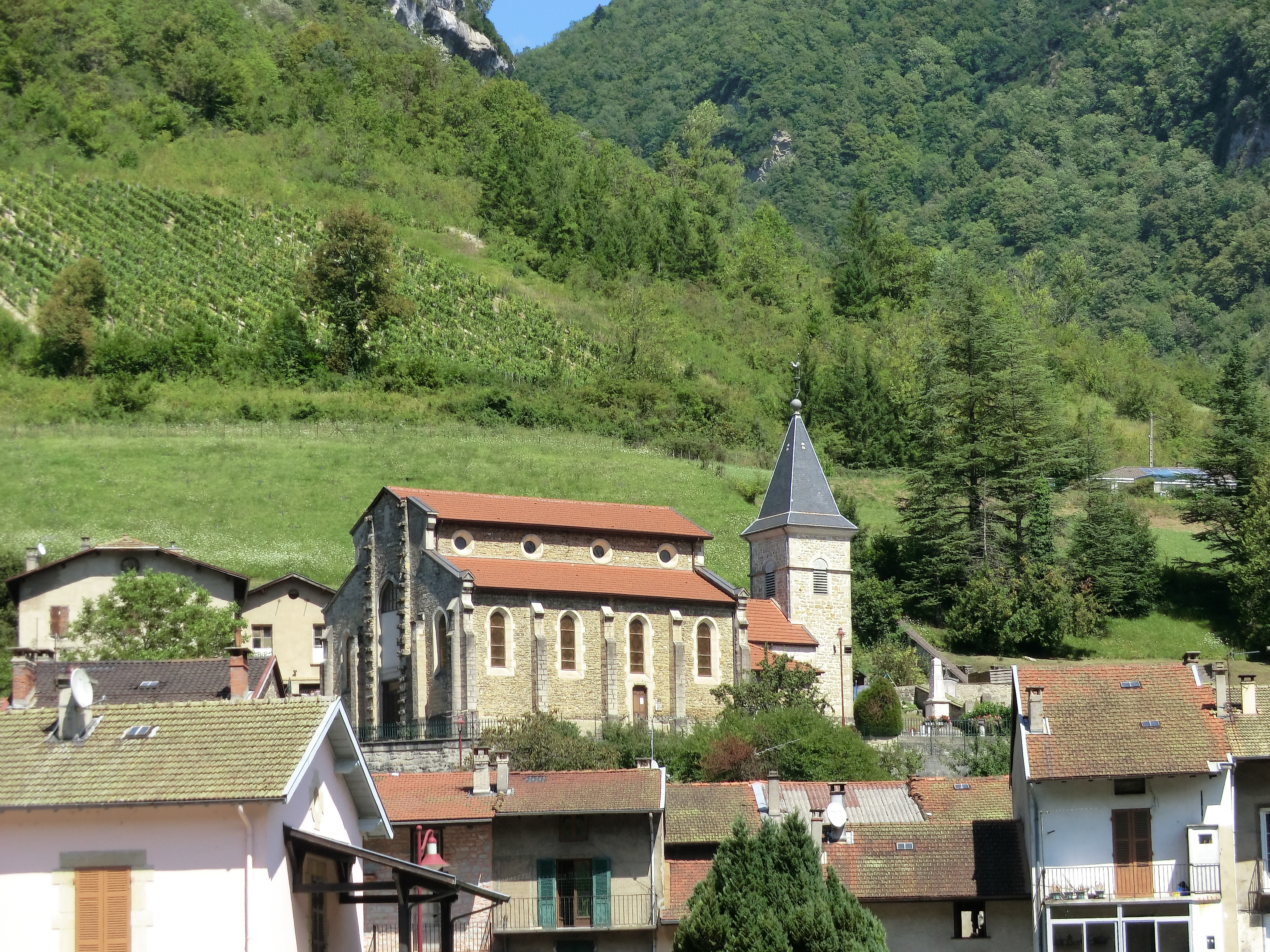
Français : Vue d'Argis et de son église. |
|||||||||||||||||
Date | ||||||||||||||||||
Source | Own work | |||||||||||||||||
Author |
creator QS:P170,Q42790984 |
|||||||||||||||||
Permission (Reusing this file) |
|
Camera location | 45° 56′ 02.52″ N, 5° 29′ 23.79″ E | View this and other nearby images on: OpenStreetMap | 45.934032; 5.489943 |
---|
Items portrayed in this file
depicts
12 August 2013
45°56'2.51401"N, 5°29'23.79599"E
0.003125 second
18.8 millimetre
image/jpeg
ed9a99416228460f8bacb73cd8d26651fa2b6e83
9,227,659 byte
3,240 pixel
4,320 pixel
File history
Click on a date/time to view the file as it appeared at that time.
Date/Time | Dimensions | User | Comment | |
---|---|---|---|---|
current | 05:42, 14 August 2013 | 4,320 × 3,240 (8.8 MB) | Benoît Prieur |
File usage
The following page uses this file:
Metadata
This file contains additional information, probably added from the digital camera or scanner used to create or digitize it.
If the file has been modified from its original state, some details may not fully reflect the modified file.
Camera manufacturer | CASIO COMPUTER CO.,LTD. |
---|---|
Camera model | EX-H20G |
Author | Picasa |
Exposure time | 1/320 sec (0.003125) |
F Number | f/5 |
ISO speed rating | 80 |
Date and time of data generation | 14:25, 12 August 2013 |
Lens focal length | 18.8 mm |
Latitude | 45° 56′ 2.51″ N |
Longitude | 5° 29′ 23.8″ E |
Altitude | 439.6 meters above sea level |
Horizontal resolution | 72 dpi |
Vertical resolution | 72 dpi |
Software used | 1.04 |
File change date and time | 13:58, 14 August 2013 |
Y and C positioning | Co-sited |
Exposure Program | Normal program |
Exif version | 2.3 |
Date and time of digitizing | 14:25, 12 August 2013 |
Meaning of each component |
|
Image compression mode | 5.4489254686786 |
APEX exposure bias | 0 |
Maximum land aperture | 3.4 APEX (f/3.25) |
Metering mode | Pattern |
Light source | Unknown |
Flash | Flash did not fire, compulsory flash suppression |
Supported Flashpix version | 1 |
Color space | sRGB |
File source | Digital still camera |
Custom image processing | Normal process |
Exposure mode | Auto exposure |
White balance | Auto white balance |
Focal length in 35 mm film | 105 mm |
Scene capture type | Standard |
Scene control | None |
Contrast | Normal |
Saturation | Normal |
Sharpness | Normal |
Unique image ID | da434832f5fe0120c4249b5748a704dd |
GPS time (atomic clock) | 12:33 |
Satellites used for measurement | 9 |
Receiver status | Measurement in progress |
Measurement precision | Excellent (0) |
Reference for direction of image | True direction |
Direction of image | 270 |
Geodetic survey data used | WGS-84 |
Name of GPS area | �République Française |
GPS date | 13 August 2013 |
GPS differential correction | 1 |
GPS tag version | 2.3.0.0 |
IIM version | 4 |