File:Warburg Institute from Woburn Square.jpg
Size of this preview: 800 × 476 pixels. Other resolutions: 320 × 190 pixels | 640 × 381 pixels | 1,264 × 752 pixels.
Original file (1,264 × 752 pixels, file size: 416 KB, MIME type: image/jpeg)
| This is a file from the Wikimedia Commons. The description on its description page there is shown below.
|
Summary
| Description |
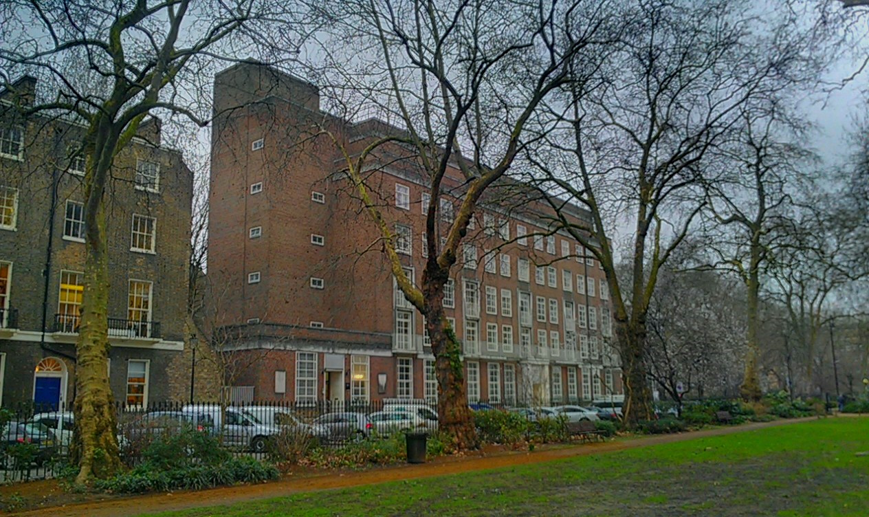
English: The Warburg Institute in Bloomsbury, London Borough of Camden, as seen from Woburn Square. This view is only accessible in winter, when there is no foliage on the trees. |
| Date | 17 February 2016 (according to Exif data) |
| Source | Own work by the original uploader |
| Author | Ethan Doyle White |
| Camera location | | View this and other nearby images on: OpenStreetMap |
|---|
Licensing
Ethan Doyle White at English Wikipedia, the copyright holder of this work, hereby publishes it under the following license:
This file is licensed under the Creative Commons Attribution-Share Alike 4.0 International license.
Attribution: Ethan Doyle White at English Wikipedia
- You are free:
- to share – to copy, distribute and transmit the work
- to remix – to adapt the work
- Under the following conditions:
- attribution – You must give appropriate credit, provide a link to the license, and indicate if changes were made. You may do so in any reasonable manner, but not in any way that suggests the licensor endorses you or your use.
- share alike – If you remix, transform, or build upon the material, you must distribute your contributions under the same or compatible license as the original.
Original upload log
The original description page was here. All following user names refer to en.wikipedia.
| Date/Time | Dimensions | User | Comment |
|---|---|---|---|
| 2016-08-01 18:49:37 | 1264× 752× | Ethan Doyle White | {{Information |Description = {{en|1=The [[Warburg Institute]] in [[Bloomsbury]], [[London Borough of Camden]], as seen from [[Woburn Square]]. This view is only accessible in winter, when there is no foliage on the trees.}} |Source = Own wor... |
File history
Click on a date/time to view the file as it appeared at that time.
| Date/Time | Dimensions | User | Comment | |
|---|---|---|---|---|
| current | 00:58, 3 August 2016 | 1,264 × 752 (416 KB) | FastilyClone | Transferred from en.wikipedia (MTC!) |
File usage
The following page uses this file: