File:Yuma County Incorporated and Unincorporated areas Yuma highlighted.svg

Size of this PNG preview of this SVG file: 520 × 600 pixels. Other resolutions: 208 × 240 pixels | 416 × 480 pixels | 666 × 768 pixels | 887 × 1,024 pixels | 650 × 750 pixels.
Original file (SVG file, nominally 650 × 750 pixels, file size: 60 KB)
| This is a file from the Wikimedia Commons. The description on its description page there is shown below.
|
Summary
| Description |
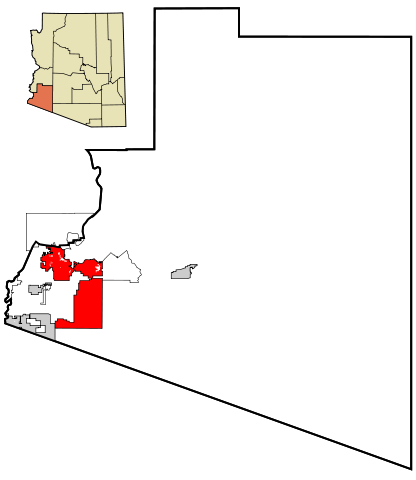
This map shows the incorporated areas and unincorporated areas in Yuma County, Arizona. Data for the borders and locations are based on maps from the Yuma County DDS Mapping Services, US Census Bureau TIGER Map Server, and ITCA Map of Tribal Homelands in Arizona.
|
| Date | |
| Source | My own work, based on public domain information |
| Author | Ixnayonthetimmay |
| Permission (Reusing this file) |
All rights not reserved. See below. |
| Other versions | See Category:Maps of Yuma County, Arizona for other versions of this image. |
Licensing
| I, the copyright holder of this work, release this work into the public domain. This applies worldwide. In some countries this may not be legally possible; if so: I grant anyone the right to use this work for any purpose, without any conditions, unless such conditions are required by law. |
File history
Click on a date/time to view the file as it appeared at that time.
| Date/Time | Dimensions | User | Comment | |
|---|---|---|---|---|
| current | 13:25, 22 March 2007 | 650 × 750 (60 KB) | Ixnayonthetimmay | {{Information |Description=This map shows the incorporated areas and unincorporated areas in Yuma County, Arizona. Yuma is highlighted in r |
File usage
There are no pages that use this file.