File:Zürichsee - Kilchberg Lindt & Sprüngli IMG 0227.JPG

Size of this preview: 800 × 533 pixels. Other resolutions: 320 × 213 pixels | 640 × 427 pixels | 1,024 × 683 pixels | 1,280 × 853 pixels | 4,000 × 2,667 pixels.
Original file (4,000 × 2,667 pixels, file size: 3.07 MB, MIME type: image/jpeg)
| This is a file from the Wikimedia Commons. The description on its description page there is shown below.
|
|
This is an image of a cultural property of national significance in Switzerland with KGS number 9171
|
Summary
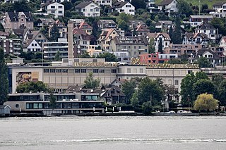
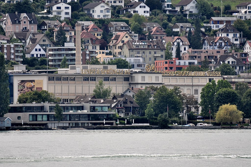
| Description | Lindt & Sprüngli in Kilchberg (Switzerland) as seen from Zürichsee-Schifffahrtsgesellschaft (ZSG) motorship Helvetia |
| Date | |
| Source | Own work |
| Author | Roland zh |
| Other versions |
|


| Camera location | | View this and other nearby images on: OpenStreetMap |
|---|
Licensing
I, the copyright holder of this work, hereby publish it under the following license:
This file is licensed under the Creative Commons Attribution-Share Alike 3.0 Unported license.
- You are free:
- to share – to copy, distribute and transmit the work
- to remix – to adapt the work
- Under the following conditions:
- attribution – You must give appropriate credit, provide a link to the license, and indicate if changes were made. You may do so in any reasonable manner, but not in any way that suggests the licensor endorses you or your use.
- share alike – If you remix, transform, or build upon the material, you must distribute your contributions under the same or compatible license as the original.
File history
Click on a date/time to view the file as it appeared at that time.
| Date/Time | Dimensions | User | Comment | |
|---|---|---|---|---|
| current | 20:15, 6 August 2011 | 4,000 × 2,667 (3.07 MB) | Roland zh | aktualisiert |
File usage
The following page uses this file: