Strömstad
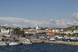
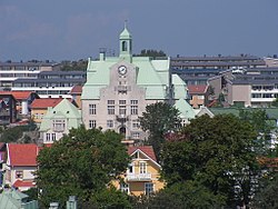
Strömstad is an urban area in the county of Västra Götaland in Sweden. It is the seat of Strömstad Municipality.
 | |
| Coordinates: 58°56′N 11°10′E / 58.933°N 11.167°ECoordinates: 58°56′N 11°10′E / 58.933°N 11.167°E | |
| Country | Sweden |
| Province | Bohuslän |
| County | Västra Götaland County |
| Municipality | Strömstad Municipality |
| Area | |
| • Total | 3.40 km2 (1.31 sq mi) |
| Population (31 December 2010)[1] | |
| • Total | 6,288 |
| • Density | 1,847/km2 (4,780/sq mi) |
| Time zone | UTC+1 (CET) |
| • Summer (DST) | UTC+2 (CEST) |
Strömstad Media
Petroglyph at Massleberg farm in Skee.
Koster Islands are surrounded by Kosterhavet National Park.
Linfärjan Bojan transfers passengers over Bojarkilen, between Canning and Kebal.
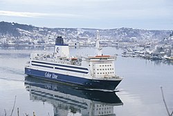
Daily ferries to Sandefjord, Norway are provided by Color Line and Fjord Line.
References
- ↑ 1.0 1.1 "Tätorternas landareal, folkmängd och invånare per km2 2005 och 2010" (in Swedish). Statistics Sweden. 14 December 2011. Archived from the original on 10 January 2012. Retrieved 10 January 2012.
{{cite web}}: CS1 maint: unrecognized language (link)
Other websites
![]() Media related to Strömstad at Wikimedia Commons
Media related to Strömstad at Wikimedia Commons


