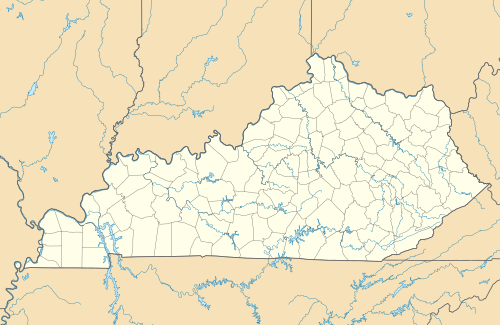
Template:Location map USA Kentucky
| name | Kentucky | |||
|---|---|---|---|---|
| border coordinates | ||||
| 39.25 | ||||
| -89.73 | ←↕→ | -81.8 | ||
| 36.37 | ||||
| map center | 37°48′36″N 85°45′54″W / 37.81°N 85.765°W | |||
| image | USA Kentucky location map.svg | |||

| ||||
| name | Kentucky | |||
|---|---|---|---|---|
| border coordinates | ||||
| 39.25 | ||||
| -89.73 | ←↕→ | -81.8 | ||
| 36.37 | ||||
| map center | 37°48′36″N 85°45′54″W / 37.81°N 85.765°W / 37.81; -85.765 | |||
| image | USA Kentucky location map.svg | |||

| ||||