File:Alberta-central map.png

Size of this preview: 341 × 599 pixels. Other resolutions: 136 × 240 pixels | 352 × 618 pixels.
Original file (352 × 618 pixels, file size: 38 KB, MIME type: image/png)
| This is a file from the Wikimedia Commons. The description on its description page there is shown below.
|
Summary
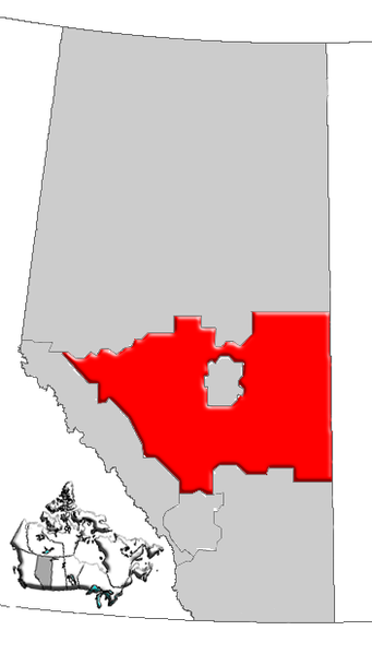
| Description | Map of Central Alberta, Canada |
| Date | |
| Source | GIS data |
| Author | Qyd (talk · contribs) |
| Permission (Reusing this file) |
All |
Licensing
| I, the copyright holder of this work, release this work into the public domain. This applies worldwide. In some countries this may not be legally possible; if so: I grant anyone the right to use this work for any purpose, without any conditions, unless such conditions are required by law. |
File history
Click on a date/time to view the file as it appeared at that time.
| Date/Time | Dimensions | User | Comment | |
|---|---|---|---|---|
| current | 09:19, 4 January 2007 | 352 × 618 (38 KB) | Qyd | {{Information |Description=Map of Central Alberta, Canada |Source=GIS data |Date=Jan 2006 |Author={{User|Qyd}} |Permission=All |other_versions= }} Category:Maps of Alberta |
File usage
The following page uses this file: