File:Chester Creek PA mouth.JPG

Size of this preview: 800 × 600 pixels. Other resolutions: 320 × 240 pixels | 640 × 480 pixels | 1,024 × 768 pixels | 1,280 × 960 pixels | 3,809 × 2,856 pixels.
Original file (3,809 × 2,856 pixels, file size: 3.58 MB, MIME type: image/jpeg)
| This is a file from the Wikimedia Commons. The description on its description page there is shown below.
|
Summary
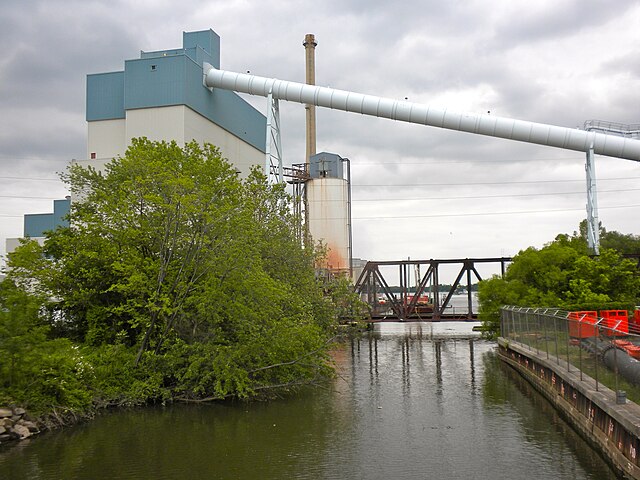
| Description | Mouth of Chester Creek on the Delaware River in Chester, Pennsylvania, near the William Penn Landing Site |
| Date | |
| Source | Own work |
| Author | Smallbones |
| Camera location | | View this and other nearby images on: OpenStreetMap |
|---|
Licensing
| I, the copyright holder of this work, release this work into the public domain. This applies worldwide. In some countries this may not be legally possible; if so: I grant anyone the right to use this work for any purpose, without any conditions, unless such conditions are required by law. |
File history
Click on a date/time to view the file as it appeared at that time.
| Date/Time | Dimensions | User | Comment | |
|---|---|---|---|---|
| current | 15:49, 19 May 2010 | 3,809 × 2,856 (3.58 MB) | Smallbones | {{Information |Description=Mouth of Chester Creek on the Delaware River in Chester, Pennsylvania, near the William Penn Landing Site |Source={{own}} |Date=2010-05-19 |Author= Smallbones |Permission= |other_versions= }} {{location|39|50 |
File usage
The following page uses this file: