File:Europe location N-IRL2.png
Size of this preview: 800 × 600 pixels. Other resolutions: 320 × 240 pixels | 640 × 480 pixels | 1,024 × 768 pixels | 1,280 × 960 pixels | 1,600 × 1,200 pixels.
Original file (1,600 × 1,200 pixels, file size: 772 KB, MIME type: image/png)
| This is a file from the Wikimedia Commons. The description on its description page there is shown below.
|
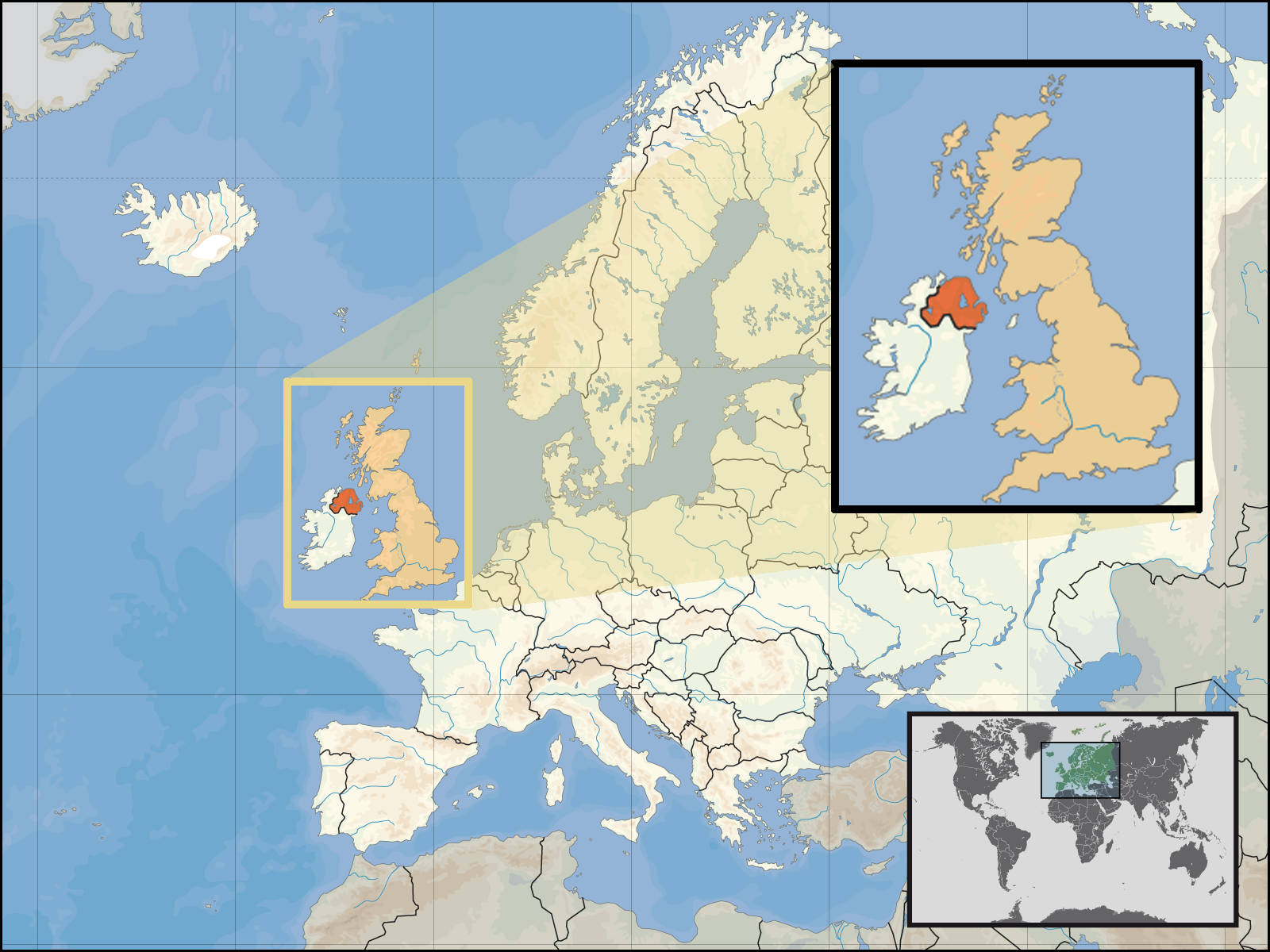
| Description | Location of Northern Ireland in the UK and Europe, on terrain map showing surface and underwater contour areas. | |||
| Date | ||||
| Source | Derived from Wikimedia Commons image of original work forming part of the "Europe location" map series created by David Liuzzo: derived from Image:Europe_location_N-IRL.png. | |||
| Author | uploaded by User:Kmusser (excerpt from User:David_Liuzzo) | |||
| Permission (Reusing this file) |
|
|||
| Other versions |
|


File history
Click on a date/time to view the file as it appeared at that time.
| Date/Time | Dimensions | User | Comment | |
|---|---|---|---|---|
| current | 12:05, 29 September 2008 | 1,600 × 1,200 (772 KB) | Kmusser | {{Information |Description= Location of Northern Ireland in the UK and Europe, on terrain map showing surface and underwater contour areas. |Source=Derived from Wikimedia Commons image of original work forming part of the "Europe location" map |
File usage
The following page uses this file: