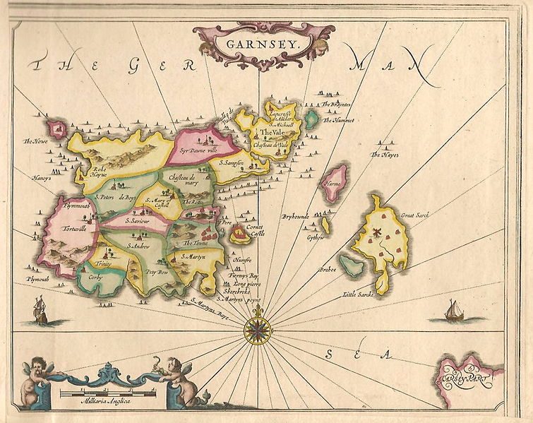
File:Guernsey old map.jpg

Size of this preview: 755 × 599 pixels. Other resolutions: 302 × 240 pixels | 605 × 480 pixels | 756 × 600 pixels | 968 × 768 pixels | 1,038 × 824 pixels.
Original file (1,038 × 824 pixels, file size: 547 KB, MIME type: image/jpeg)
File history
Click on a date/time to view the file as it appeared at that time.
| Date/Time | Dimensions | User | Comment | |
|---|---|---|---|---|
| current | 23:19, 8 December 2015 | 1,038 × 824 (547 KB) | Ratzer | {{Information |Description ={{en|1=old map of Guernsey (''Garnsey'') showing subdivisions (parishes?)}} |Source =http://www.antiquemaps-fair.com/images/large/i_142/4693.jpg |Author =unknown |Date =after 1757 (Le Clo du Vall... |
File usage
The following page uses this file: