File:Map of Lhasa, Tibet Autonomous Region in 1973 detail, from- NH-46-9 Lasa Tibet (cropped).jpg

Size of this preview: 749 × 599 pixels. Other resolutions: 300 × 240 pixels | 600 × 480 pixels | 750 × 600 pixels | 960 × 768 pixels | 1,279 × 1,024 pixels | 2,034 × 1,628 pixels.
Original file (2,034 × 1,628 pixels, file size: 618 KB, MIME type: image/jpeg)
| This is a file from the Wikimedia Commons. The description on its description page there is shown below.
|
Summary
| Description |
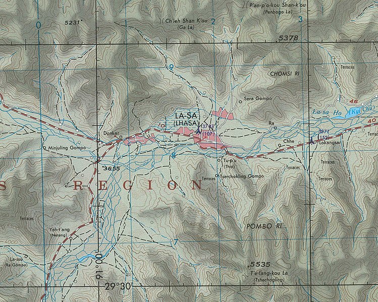
English: NH-46-9 Lasa Tibet |
| Date | |
| Source | People's Association for Himalaya Area Research |
| Author | Defense Mapping Agency, 1973 |
| Other versions |

.jpg)
Licensing
This work is in the public domain in the United States because it is a work prepared by an officer or employee of the United States Government as part of that person’s official duties under the terms of Title 17, Chapter 1, Section 105 of the US Code.
Note: This only applies to original works of the Federal Government and not to the work of any individual U.S. state, territory, commonwealth, county, municipality, or any other subdivision. This template also does not apply to postage stamp designs published by the United States Postal Service since 1978. (See § 313.6(C)(1) of Compendium of U.S. Copyright Office Practices). It also does not apply to certain US coins; see The US Mint Terms of Use.
|
 | |
| This file has been identified as being free of known restrictions under copyright law, including all related and neighboring rights. | ||
| Annotations | This image is annotated: View the annotations at Commons |
File history
Click on a date/time to view the file as it appeared at that time.
| Date/Time | Dimensions | User | Comment | |
|---|---|---|---|---|
| current | 18:26, 2 May 2020 | 2,034 × 1,628 (618 KB) | Tibet Nation | File:NH-46-9 Lasa Tibet.jpg cropped 76 % horizontally, 75 % vertically using CropTool with lossless mode. |
File usage
The following page uses this file:
.jpg)