File:Map of Oklahoma highlighting Mayes County.svg

Size of this PNG preview of this SVG file: 800 × 397 pixels. Other resolutions: 320 × 159 pixels | 640 × 317 pixels | 1,024 × 508 pixels | 1,280 × 635 pixels | 7,730 × 3,832 pixels.
Original file (SVG file, nominally 7,730 × 3,832 pixels, file size: 57 KB)
| This is a file from the Wikimedia Commons. The description on its description page there is shown below.
|
Summary
| Description |
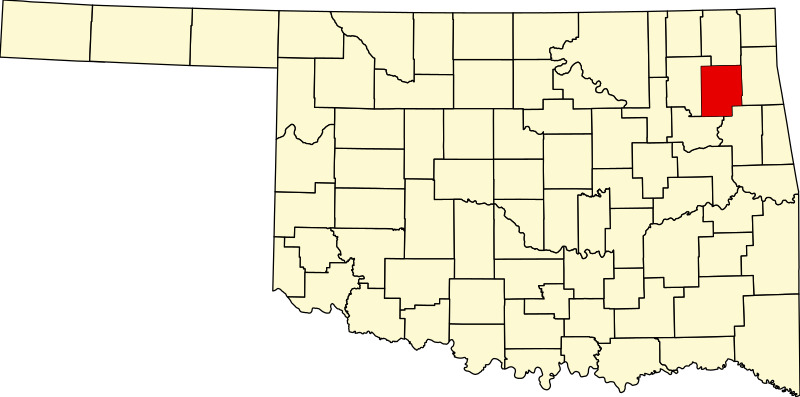
English: This is a locator map showing Mayes County in Oklahoma. For more information, see Commons:United States county locator maps. |
| Date | |
| Source |
Own work: English: The maps use data from nationalatlas.gov, specifically countyp020.tar.gz on the Raw Data Download page. The maps also use state outline data from statesp020.tar.gz. The Florida maps use hydrogm020.tar.gz to display Lake Okeechobee. |
| Author | David Benbennick |
Licensing
| I, the copyright holder of this work, release this work into the public domain. This applies worldwide. In some countries this may not be legally possible; if so: I grant anyone the right to use this work for any purpose, without any conditions, unless such conditions are required by law. |
File history
Click on a date/time to view the file as it appeared at that time.
| Date/Time | Dimensions | User | Comment | |
|---|---|---|---|---|
| current | 09:14, 12 February 2006 | 7,730 × 3,832 (57 KB) | David Benbennick | {{subst:User:Dbenbenn/clm|county=Mayes County|state=Oklahoma|type=county}} |
File usage
The following 18 pages use this file:
- Adair, Oklahoma
- Cherokee
- Chouteau, Oklahoma
- Disney, Oklahoma
- Grand Lake Towne, Oklahoma
- Hoot Owl, Oklahoma
- Langley, Oklahoma
- List of counties in Oklahoma
- Locust Grove, Oklahoma
- Mayes County, Oklahoma
- Pensacola, Oklahoma
- Pryor Creek, Oklahoma
- Salina, Oklahoma
- Sams Corner, Oklahoma
- Spavinaw, Oklahoma
- Sportsmen Acres, Oklahoma
- Strang, Oklahoma
- Template:Mayes County, Oklahoma