File:Recta a Cholula.jpg

Size of this preview: 800 × 500 pixels. Other resolutions: 320 × 200 pixels | 640 × 400 pixels | 1,024 × 640 pixels | 1,280 × 800 pixels | 4,000 × 2,500 pixels.
Original file (4,000 × 2,500 pixels, file size: 3.48 MB, MIME type: image/jpeg)
| This is a file from the Wikimedia Commons. The description on its description page there is shown below.
|
Summary
| Description |
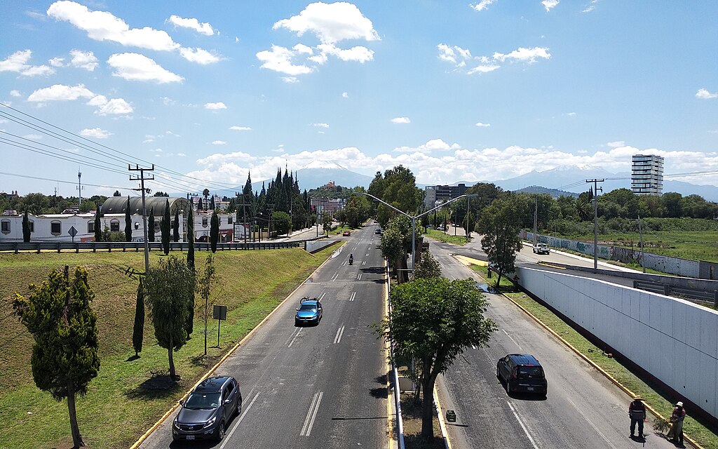
Español: La Recta a Cholula es una carretera que conecta las ciudades de Puebla y Cholula (estado de Puebla, México). Esta foto fue tomada desde el distribuidor vial UDLAP. Al fondo del lado izquierdo, se aprecian la Gran Pirámide de Cholula y el volcán Popocatépetl. |
| Date | |
| Source | Own work |
| Author | Bodofzt |
| Camera location | | View this and other nearby images on: OpenStreetMap |
|---|
Licensing
I, the copyright holder of this work, hereby publish it under the following license:
This file is licensed under the Creative Commons Attribution-Share Alike 4.0 International license.
- You are free:
- to share – to copy, distribute and transmit the work
- to remix – to adapt the work
- Under the following conditions:
- attribution – You must give appropriate credit, provide a link to the license, and indicate if changes were made. You may do so in any reasonable manner, but not in any way that suggests the licensor endorses you or your use.
- share alike – If you remix, transform, or build upon the material, you must distribute your contributions under the same or compatible license as the original.
File history
Click on a date/time to view the file as it appeared at that time.
| Date/Time | Dimensions | User | Comment | |
|---|---|---|---|---|
| current | 08:36, 13 July 2020 | 4,000 × 2,500 (3.48 MB) | Bodofzt | Uploaded own work with UploadWizard |
File usage
The following page uses this file: