Glacier County, Montana
Glacier County is a county found in the U.S. state of Montana. As of the 2020 United States Census, there were 13,778 people.[1] The county seat is Cut Bank.[2] It is across from the Canadian border of Alberta.
| Glacier County, Montana | |
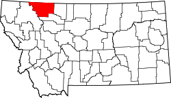
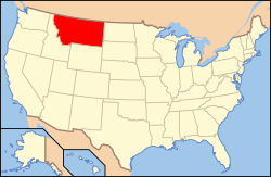
| Map | |
 Location in the state of Montana | |
 Montana's location in the U.S. | |
| Statistics | |
| Founded | 1919 |
|---|---|
| Seat | Cut Bank |
| Largest City | Cut Bank |
| Area - Total - Land - Water |
3,037 sq mi (7,866 km²) 2,996 sq mi (7,760 km²) 41 sq mi (106 km²), 1.40 |
| Population - Density |
|
| Time zone | Mountain: UTC-7/-6 |
| Website: www.glaciercountymt.org | |
| Named for: The glaciers in Glacier National Park | |
| * Montana county number 38 | |
Glacier County, Montana Media
The sign for Glacier County on U.S. Route 2
References
- ↑ "QuickFacts: Glacier County, Montana". United States Census Bureau. Retrieved January 4, 2024.
- ↑ "Find a County". National Association of Counties. Archived from the original on 31 May 2011. Retrieved 7 June 2011.
