File:Map of Ohio highlighting Cuyahoga County.svg

Size of this PNG preview of this SVG file: 551 × 599 pixels. Other resolutions: 221 × 240 pixels | 442 × 480 pixels | 552 × 600 pixels | 706 × 768 pixels | 942 × 1,024 pixels | 3,675 × 3,995 pixels.
Original file (SVG file, nominally 3,675 × 3,995 pixels, file size: 58 KB)
| This is a file from the Wikimedia Commons. The description on its description page there is shown below.
|
Summary
| Description |
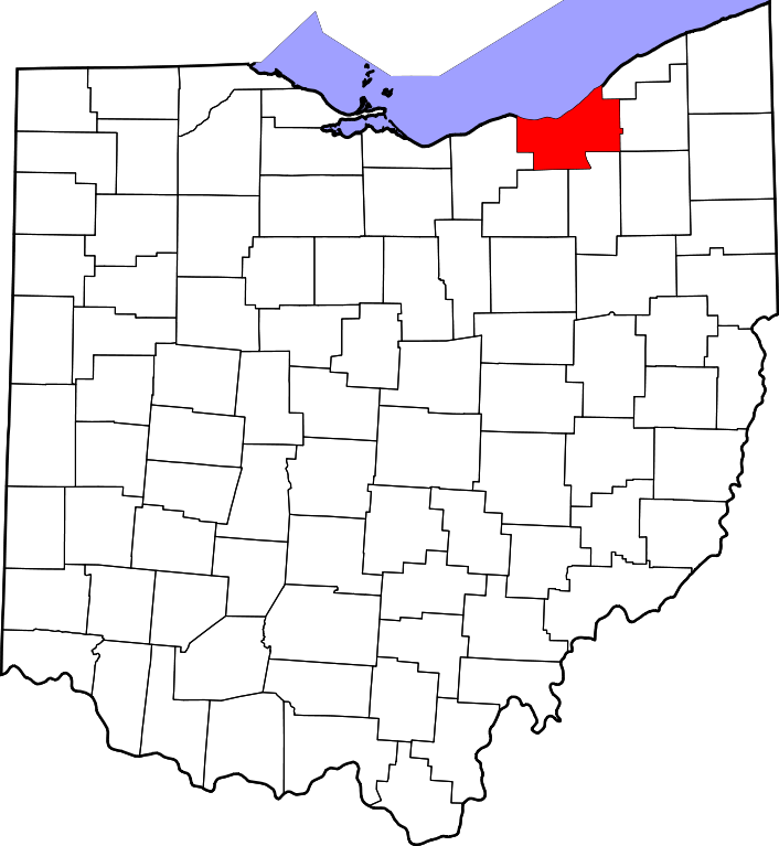
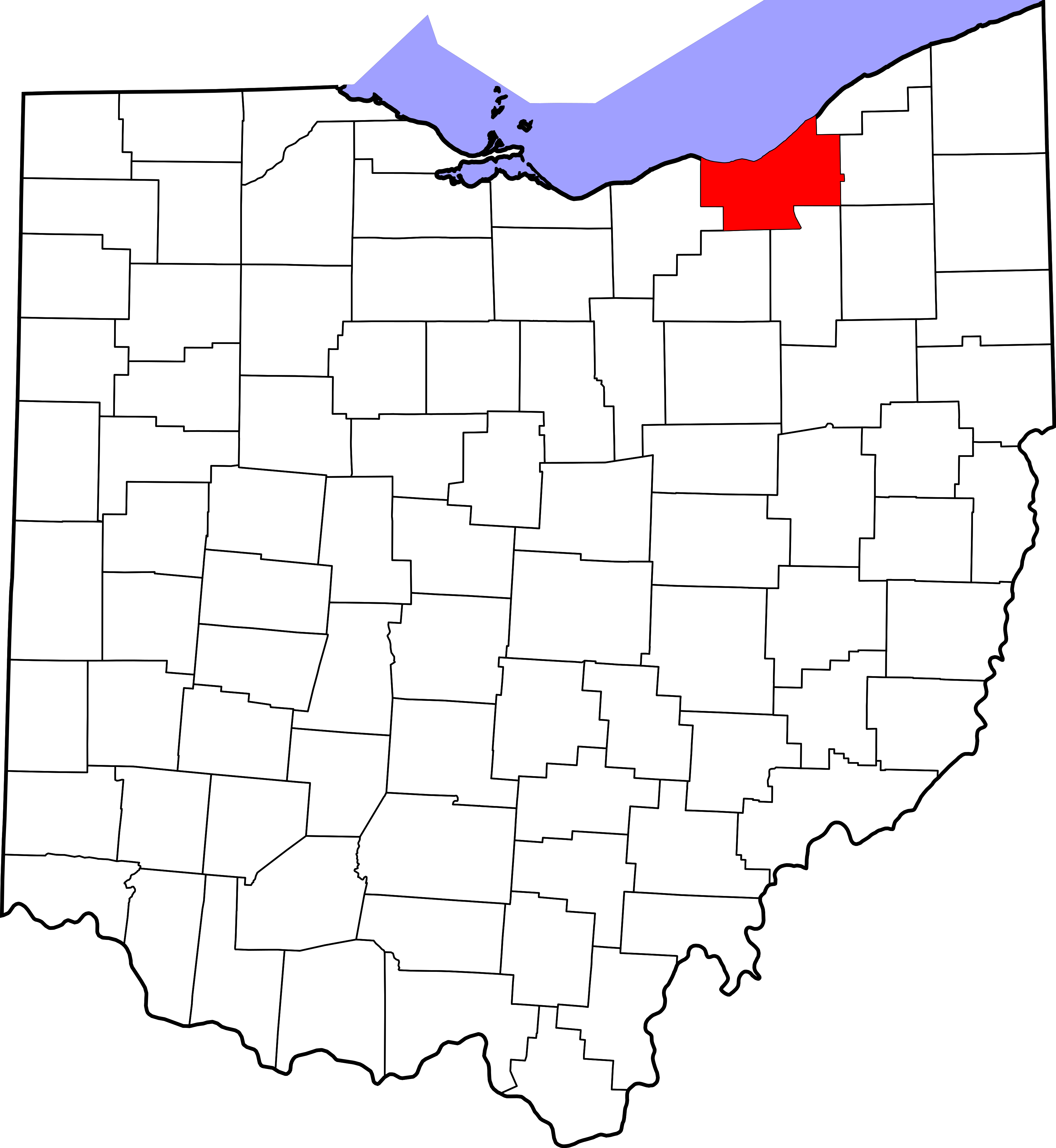
English: This is a locator map showing Cuyahoga County in Ohio. For more information, see Commons:United States county locator maps. |
| Date | |
| Source |
Own work: English: The maps use data from nationalatlas.gov, specifically countyp020.tar.gz on the Raw Data Download page. The maps also use state outline data from statesp020.tar.gz. The Florida maps use hydrogm020.tar.gz to display Lake Okeechobee. |
| Author | David Benbennick |
Licensing
| I, the copyright holder of this work, release this work into the public domain. This applies worldwide. In some countries this may not be legally possible; if so: I grant anyone the right to use this work for any purpose, without any conditions, unless such conditions are required by law. |
File history
Click on a date/time to view the file as it appeared at that time.
| Date/Time | Dimensions | User | Comment | |
|---|---|---|---|---|
| current | 09:07, 12 February 2006 | 3,675 × 3,995 (58 KB) | David Benbennick | {{subst:User:Dbenbenn/clm|county=Cuyahoga County|state=Ohio|type=county}} |
File usage
The following 44 pages use this file:
- Bay Village, Ohio
- Beachwood, Ohio
- Bedford, Ohio
- Bedford Heights, Ohio
- Berea, Ohio
- Brecksville, Ohio
- Broadview Heights, Ohio
- Brook Park, Ohio
- Brooklyn, Ohio
- Chagrin Falls, Ohio
- Cleveland
- Cleveland Heights, Ohio
- Cuyahoga County, Ohio
- East Cleveland, Ohio
- Euclid, Ohio
- Fairview Park, Ohio
- Garfield Heights, Ohio
- Highland Heights, Ohio
- Independence, Ohio
- Lakewood, Ohio
- List of counties in Ohio
- Lyndhurst, Ohio
- Maple Heights, Ohio
- Mayfield Heights, Ohio
- Middleburg Heights, Ohio
- Moreland Hills, Ohio
- North Olmsted, Ohio
- North Royalton, Ohio
- Olmsted Falls, Ohio
- Orange, Ohio
- Parma, Ohio
- Parma Heights, Ohio
- Pepper Pike, Ohio
- Richmond Heights, Ohio
- Rocky River, Ohio
- Seven Hills, Ohio
- Shaker Heights, Ohio
- Solon, Ohio
- South Euclid, Ohio
- Strongsville, Ohio
- University Heights, Ohio
- Warrensville Heights, Ohio
- Westlake, Ohio
- Template:Cuyahoga County, Ohio