Herne Bay
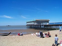
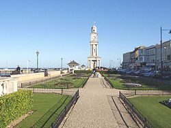
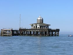
Herne Bay is a small seaside town in Kent, South East England. It is about 108 km (67 mi) from London. The town has a population of about 35,000. It is near Canterbury, Whitstable and the historic villages of Herne and Reculver. Up until 1978, the town had the second-longest pier in the United Kingdom. However, in 1987 it was destroyed by a storm.
| Herne Bay | |
 Herne Bay |
|
| Population | 35,188 (2001 Census) |
|---|---|
| OS grid reference | TR177681 |
| - London | 67mi |
| District | Canterbury |
| Shire county | Kent |
| Region | South East |
| Country | England |
| Sovereign state | United Kingdom |
| Post town | HERNE BAY |
| Postcode district | CT6 |
| Dialling code | 01227 |
| Police | Kent |
| Fire | Kent |
| Ambulance | South East Coast |
| EU Parliament | South East England |
| UK Parliament | North Thanet |
| Wikimedia Commons has media related to Lua error in Module:Commons_link at line 62: attempt to index field 'wikibase' (a nil value).. |
Herne Bay Media
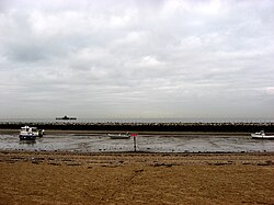
The coast in Herne Bay, showing a few boats in the mud after the tide went out.
Guest houses on Herne Bay seafront


